Raster-based method for building selection in the multi-scale representation of two-dimensional maps

Abstarct
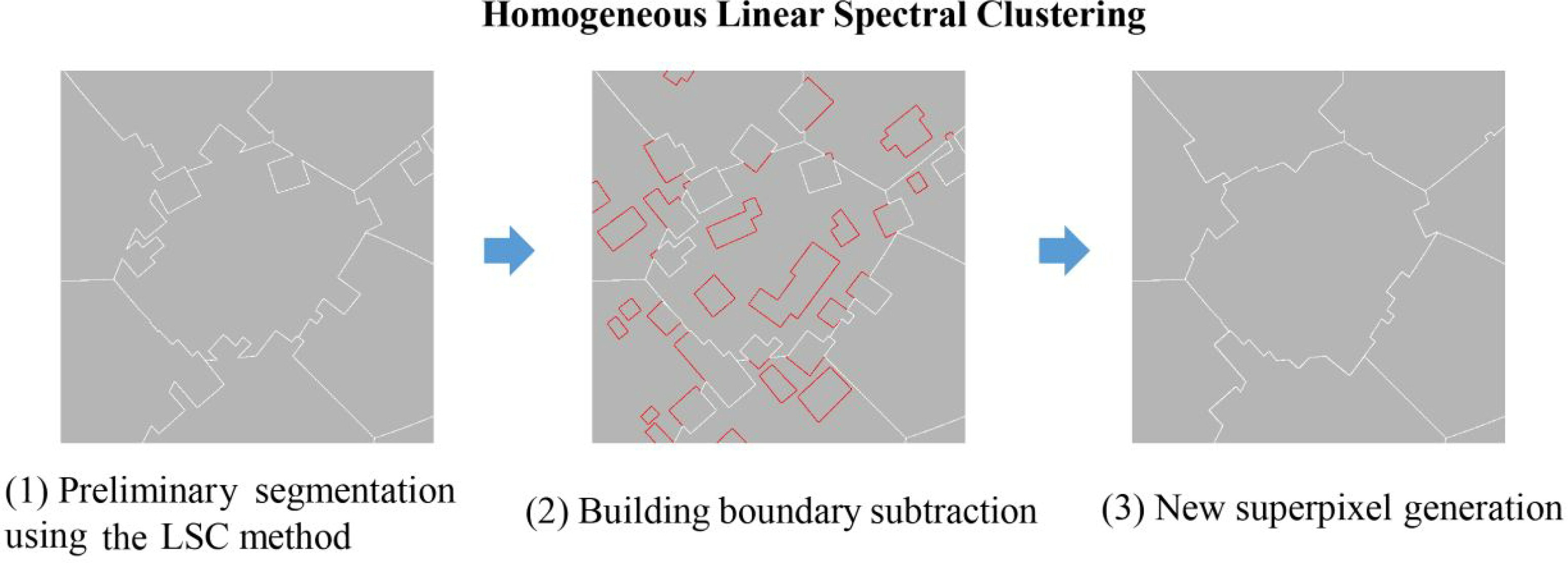
In the multi-scale representation of maps, a selection operation is usually applied to reduce the number of map elements and improve legibility while maintaining the original distribution characteristics. During the past few decades, many methods for vector building selection have been developed; however, pixel-based methods are relatively lacking. In this paper, a multiple-strategy method for raster building selection is proposed. In this method, to preserve the distribution range, a new homogeneous linear spectral clustering (HLSC) superpixel segmentation method is developed for the relatively homogeneous spatial division of building groups. Then, to preserve the relative distribution density, multi-level spatial division is performed according to the local number of buildings. Finally, to preserve the local geometric, attributive and geographical characteristics, four selection strategies, namely, the minimum centroid distance, minimum boundary distance, maximum area and considering geographical element strategies, are designed to generate selection results. To evaluate the proposed method, dispersed buildings in a suburban area are utilized to perform selection tasks. The experimental results indicate that the proposed method can effectively select dispersed irregular buildings at different levels of detail while maintaining the original distribution range and relative distribution density. In addition, the use of multiple selection strategies considering various geometric, attributive and geographical characteristics provides multiple options for cartography.